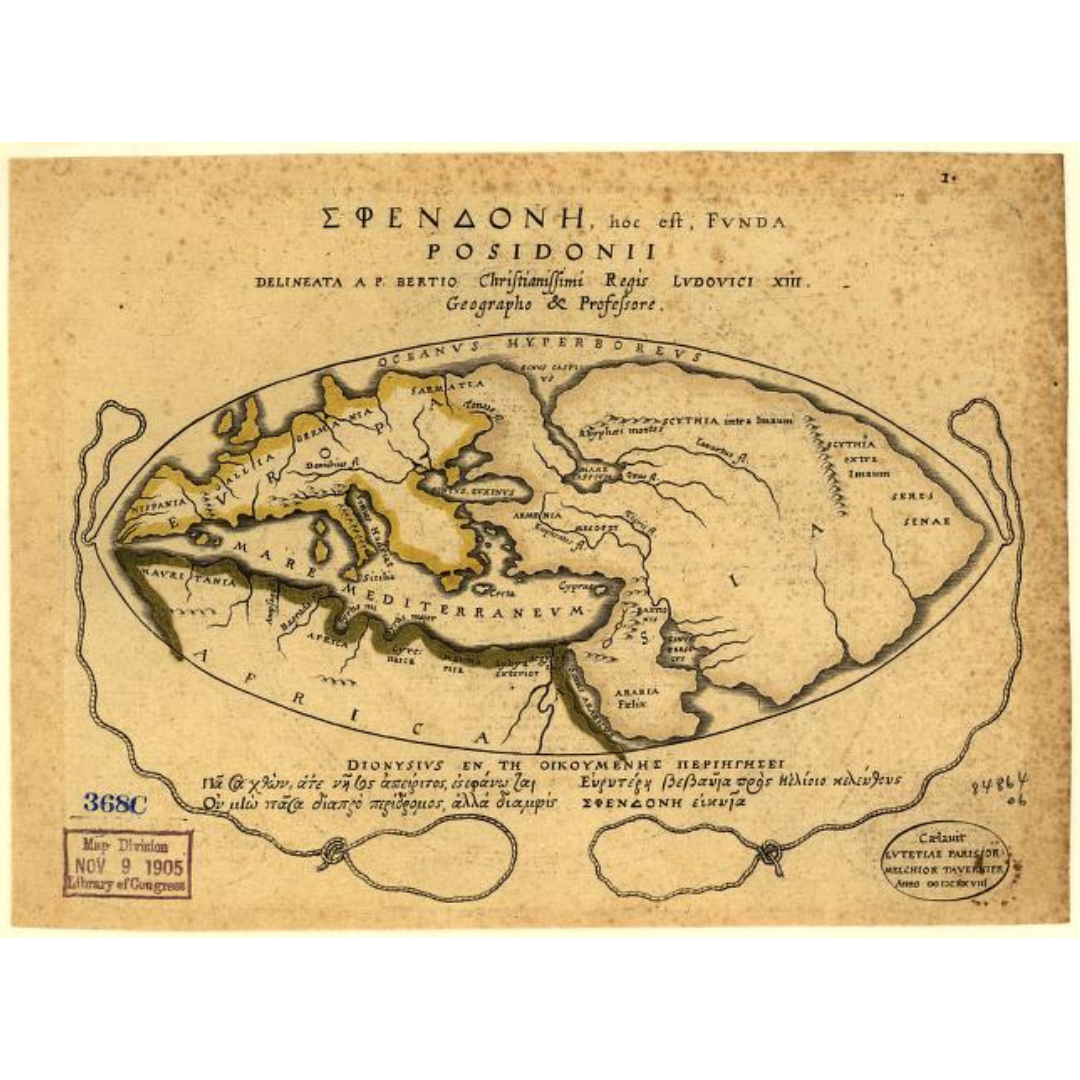


A conceptual world map printed in Paris in 1630 from Ancient Geography (Geographia Veteris) by Petrus Bertius, presenting the classical “Sphendonē” (“sling”) view of the world attributed to ancient Greek scholarship. With Latin and Greek text, it offers a rare window into how early scholars framed the inhabited world long before modern projections and surveys.
Features / Details
-
Date: 1630
-
Map Type: Conceptual world map (classical tradition)
-
Languages: Latin and Greek
-
Place of Publication (original): Paris
-
Work/Source: From Bertius’s Ancient Geography (Paris, 1630)
-
Alternate Titles (LOC): “Sphendonē, that is, the world of Posidonii”; “Dionysius in the world traveled by the Greeks”
Source & Rights
Image courtesy of the Library of Congress.
You will receive a newly made, high-resolution fine-art print of this historical map (not the original artifact).